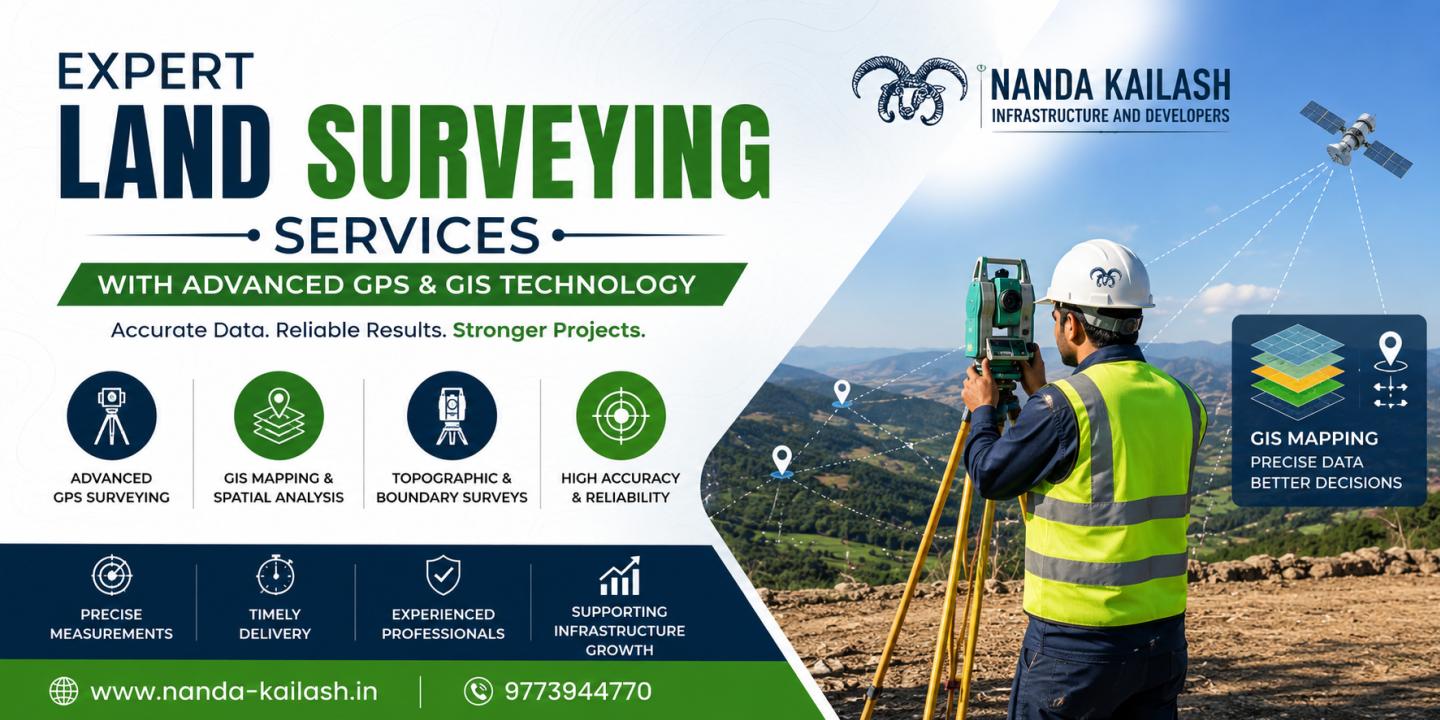
Infrastructure development begins with accurate land information. Whether planning a highway, residential township, industrial park, commercial complex, railway corridor, or renewable energy project, a precise land survey forms the foundation of successful execution. At Nanda Kailash Infrastructure and Developers, we provide reliable land survey solutions that deliver accurate measurements, detailed mapping, and actionable data to support every stage of infrastructure and construction projects.
Our experienced survey professionals use modern surveying equipment, advanced GPS technology, Total Station instruments, DGPS, GIS mapping, drone surveys, and digital data processing to ensure high levels of precision. We help government agencies, engineering consultants, architects, real estate developers, construction companies, and industrial organizations make informed decisions with dependable survey data.
What is Land Surveying?
Land surveying is the scientific process of determining the exact position, dimensions, boundaries, elevation, and physical characteristics of a piece of land. It provides essential information required for planning, designing, constructing, and managing infrastructure projects.
Professional land surveys reduce project risks by identifying boundary lines, existing structures, utilities, natural features, and topographical conditions before construction begins.
Why Accurate Land Surveys Matter
Every successful construction project depends on accurate survey data. Even small measurement errors can result in costly redesigns, legal disputes, construction delays, or safety concerns.
Reliable land surveys help:
- Define legal property boundaries
- Support land acquisition and ownership verification
- Reduce construction errors
- Improve project planning
- Optimize earthwork calculations
- Ensure regulatory compliance
- Minimize project risks
- Save time and construction costs
- Support sustainable infrastructure development
Our Land Survey Services
At Nanda Kailash Infrastructure and Developers, we offer comprehensive surveying solutions tailored to different industries and project requirements.
Topographical Survey
We prepare detailed topographical maps showing natural and man-made features such as roads, drainage systems, buildings, trees, contours, utilities, and elevation levels. These surveys are essential for architects, engineers, and planners during project design.
Boundary Survey
Our boundary surveys accurately establish property lines and land ownership limits, helping prevent disputes and ensuring legal compliance for development projects.
DGPS Survey
Differential Global Positioning System (DGPS) surveys provide high-precision positioning suitable for large-scale infrastructure, highways, pipelines, transmission lines, and government projects.
Total Station Survey
Using advanced Total Station instruments, we collect highly accurate horizontal and vertical measurements for engineering layouts, construction staking, and structural positioning.
Contour Survey
Contour surveys provide elevation details of land surfaces, enabling engineers to design proper grading, drainage systems, road alignments, and foundation levels.
Route Survey
We conduct route surveys for highways, railways, metro projects, canals, pipelines, transmission lines, optical fiber networks, and utility corridors.
Construction Layout Survey
Construction layout surveys accurately transfer engineering designs from drawings to the actual project site, ensuring structures are built according to approved plans.
Drone Survey
Drone-based aerial surveys offer rapid data collection, high-resolution imagery, orthomosaic maps, digital elevation models (DEM), and 3D terrain visualization for large infrastructure projects.
GIS Mapping
Our Geographic Information System (GIS) solutions integrate spatial data for infrastructure planning, asset management, urban development, and environmental analysis.
Industries We Serve
Our land surveying expertise supports numerous sectors, including:
- Roads and Highways
- Railways and Metro Projects
- Airports
- Smart Cities
- Residential Townships
- Commercial Developments
- Industrial Plants
- Power Transmission Projects
- Solar and Wind Energy Parks
- Oil and Gas Pipelines
- Water Supply Projects
- Irrigation Systems
- Mining Projects
- Urban Infrastructure
- Government Development Projects
Modern Survey Technology
Nanda Kailash Infrastructure and Developers utilizes advanced surveying equipment and digital technologies to deliver dependable results.
Our capabilities include:
- Differential GPS (DGPS)
- Total Station
- Auto Level
- Drone Survey Technology
- GIS Mapping
- Digital Terrain Modeling (DTM)
- Geographic Information Systems
- CAD-Based Survey Drawings
- Geospatial Data Processing
- High-Precision Coordinate Systems
These technologies help us complete projects efficiently while maintaining exceptional accuracy.
Benefits of Choosing Nanda Kailash Infrastructure and Developers
Clients trust us because we combine technical expertise with modern equipment and a commitment to quality.
Our advantages include:
- Experienced survey professionals
- Accurate and reliable measurements
- Advanced surveying technology
- Fast project execution
- Customized survey solutions
- Compliance with industry standards
- Detailed reports and digital deliverables
- Cost-effective services
- Timely project completion
- Strong focus on quality and precision
Applications of Land Surveying
Land surveys play a vital role in many infrastructure activities, including:
- Site selection
- Land acquisition
- Engineering design
- Building construction
- Road development
- Bridge construction
- Utility installation
- Environmental assessment
- Urban planning
- Property development
- Industrial expansion
- Renewable energy infrastructure
Commitment to Quality
At Nanda Kailash Infrastructure and Developers, quality is central to every project we undertake. Our surveying methodologies follow industry best practices, ensuring reliable data collection, precise measurements, and comprehensive documentation. We work closely with clients throughout the project lifecycle to provide accurate survey information that supports informed decision-making and efficient project execution.
Conclusion
Reliable land surveying is the cornerstone of successful infrastructure and construction projects. Accurate survey data minimizes risks, improves planning, enhances construction quality, and supports long-term project success. Nanda Kailash Infrastructure and Developers offers professional land survey solutions backed by experienced experts, advanced technology, and a commitment to excellence. Whether your project involves highways, railways, industrial facilities, commercial developments, residential communities, or renewable energy infrastructure, we provide dependable surveying services designed to help your project move forward with confidence, precision, and efficiency.