Data science helps organisations find patterns in large datasets and use them for better decisions. Students learn to work with statistics, programming, machine learning and predictive models across sectors such as finance, healthcare, retail and technology. The field offers several directions, so students should examine the curriculum, practical exposure and specialisations while comparing MSc in data science colleges in India.
What Is Traditional Data Science?
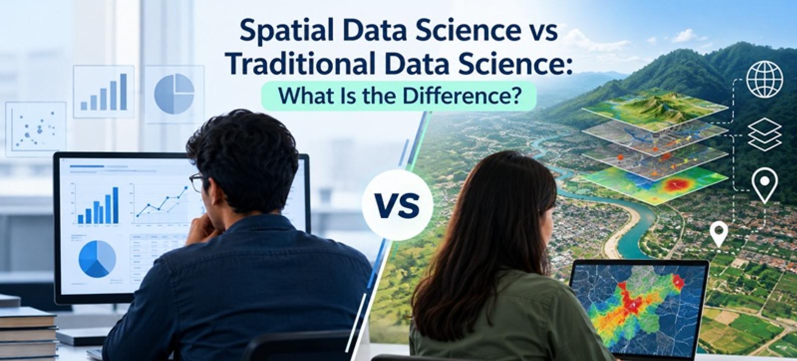
Traditional data science focuses on extracting useful information from structured and unstructured data. A data scientist might study customer transactions, sales records, website activity or business performance.
The process often includes collecting data, cleaning it and selecting suitable analytical methods. Students also learn to build models and communicate the results through reports or visualisations.
Programming languages such as Python are widely used for these tasks. Statistics and mathematics provide the foundation needed to understand patterns and evaluate whether a model produces useful results.
What Makes Spatial Data Different?
Spatial data adds a geographic dimension to analysis by showing where events, patterns or changes occur and how they vary across locations. This helps analysts understand relationships that may not be visible in non-spatial datasets.
Satellite imagery, maps, GPS observations and environmental measurements are examples of spatial information. Remote sensing is especially important because satellites and aerial platforms collect information about the Earth's surface without direct physical contact. Students interested in analysing this type of information often explore MSc remote sensing colleges in India.
What Is Spatial Data Science?
Spatial data science combines conventional data science techniques with geospatial information.
Suppose an analyst wants to understand customer demand. Traditional analysis might study age, purchase history and transaction value. Spatial analysis could add store locations, customer movement or distance from a service centre.
The same principle applies to transportation, agriculture, urban planning and environmental monitoring. Location creates an additional layer of information that helps analysts understand how patterns change across geographical areas.
How Do the Technical Skills Compare?
Both fields require strong analytical foundations.
Data science students commonly work with mathematics, statistics, programming, databases, machine learning and data visualisation. Spatial data science students need these skills too, but they also work with Geographic Information Systems, spatial databases and geospatial technologies.
Python is particularly useful because it supports general data analysis as well as spatial workflows.
The difference is therefore not that one field uses data and the other does not. Spatial data science adds geographic relationships to the analytical process.
Where Does Remote Sensing Fit?
Remote sensing provides an important source of spatial data.
Satellites, aircraft and drones capture information that can be used to study land, vegetation, cities, water bodies and environmental conditions. Analysts then process the images and extract useful information.
Modern remote sensing is also becoming closely connected with machine learning. Instead of manually examining thousands of images, analytical models help identify patterns or classify features across large areas.
Computer vision and image analytics further expand what researchers can extract from satellite imagery.
How Is Machine Learning Used Differently?
Traditional machine learning might predict customer churn, classify transactions or estimate future sales.
Spatial machine learning can address questions where geography matters. It might help classify land cover, analyse transportation patterns or detect changes between satellite images collected at different times.
The underlying machine learning concepts remain similar, but spatial datasets introduce new relationships. Two observations located close together may influence each other in ways that ordinary datasets do not capture.
Students therefore need to understand both modelling techniques and the characteristics of location-based data.
Which Industries Need Spatial Analytics?
Spatial information is relevant wherever location affects a business or public decision.
Applications are found across:
Transportation and mobility
Telecommunications
Agriculture
Urban planning
Utilities
Environmental monitoring
Disaster management
Healthcare
Retail
Banking and insurance
Location-based businesses also use spatial analytics to understand demand, service coverage and movement patterns.
Which Path Should You Choose?
Your interests should guide the decision.
Traditional data science may suit students who enjoy statistics, programming and solving business problems across different datasets. Spatial data science may appeal to learners who want to combine those abilities with maps, satellite imagery and location-based problems.
The choice does not always need to be permanent. Strong foundations in mathematics, programming, statistics and machine learning support movement between different analytical domains.
Conclusion
Traditional and spatial data science share a common analytical foundation, but spatial data science adds location, geographic relationships and spatial technologies to the process. This combination is particularly useful when decisions depend not only on what is happening but also on where it is happening.
At Symbiosis Institute of Geoinformatics (SIG), the two-year M.Sc. Data Science & Spatial Analytics programme combines Mathematics for Spatial Sciences, Applied Statistics, Python Programming and Fundamentals of Data Science with geospatial technology. The curriculum progresses into Spatial Big Data and Storage Analytics, Data Mining and Algorithms, Machine Learning, Image Analytics and Spatial Database Management. Later learning includes Spatial Modeling, Artificial Intelligence, Predictive Analytics and an industry project.
Students interested more specifically in geospatial technologies can also explore SIG's M.Sc. Geoinformatics programme. It includes foundations in GIS and Remote Sensing and connects spatial data with technologies used across fields such as urban planning, agriculture, environmental analysis, transportation and climate-related applications.
These pathways at Symbiosis Institute of Geoinformatics (SIG) show how data science and geospatial learning increasingly intersect. Students can build analytical foundations while learning how data changes when location, satellite information and spatial relationships become part of the problem.