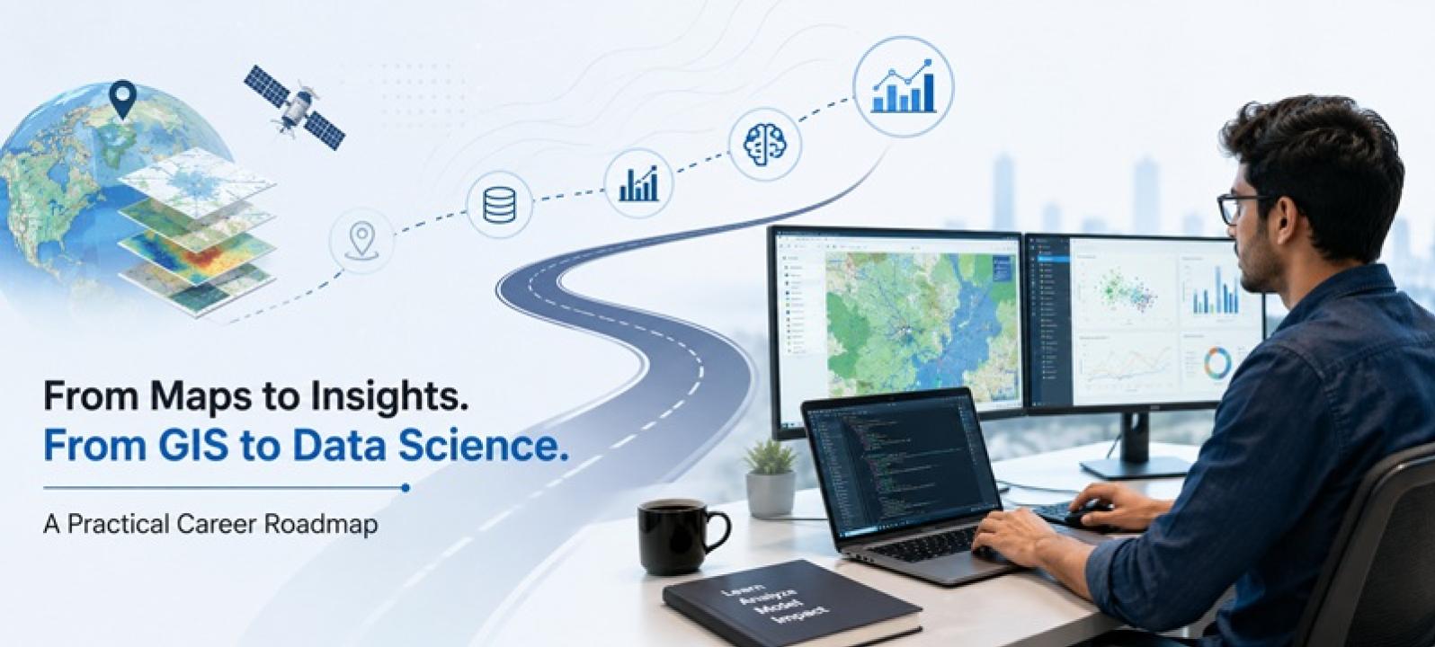
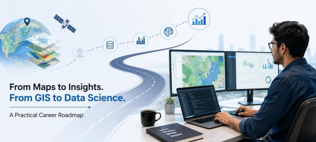
A GIS graduate already works with data, but the data has a location attached to it. Maps, satellite images, coordinates and spatial patterns all involve collecting, processing and interpreting information. This foundation makes data science a realistic career direction for students who are ready to strengthen their programming, statistics and machine learning skills. Students comparing GIS courses in India should therefore also consider how much exposure they receive to data-driven problem-solving.
Why Does GIS Provide a Good Data Foundation?
GIS professionals do more than create maps. They analyse spatial relationships and identify patterns that help answer real-world questions.
A GIS graduate might study traffic congestion, land-use changes, environmental risks or customer locations. These tasks already involve analytical thinking. Data science extends this approach by introducing statistical modelling, machine learning and predictive methods.
Step 1: Strengthen Programming Skills
The first major step is learning to work with data through code.
Python is widely used for data cleaning, analysis, visualisation and machine learning. GIS graduates should become comfortable working with datasets instead of depending entirely on desktop GIS software.
Programming also makes it easier to automate repetitive tasks and process larger datasets. Students evaluating the best data science course in India should look at how programming is integrated with statistics, machine learning and practical projects.
Step 2: Build a Strong Statistics Foundation
Knowing how to create a map does not automatically mean you know why a pattern exists.
Statistics helps you examine relationships between variables and judge whether an observation is meaningful. Concepts such as probability, distributions, correlation, regression and hypothesis testing provide an important foundation.
GIS graduates already familiar with spatial patterns can gradually extend this knowledge towards statistical modelling.
Step 3: Learn Data Management
Real-world datasets are rarely clean.
Data scientists spend significant time organising missing values, inconsistent formats and information collected from different sources. SQL and database concepts therefore become valuable skills.
GIS students also benefit from understanding spatial databases because location-based datasets can be large and complex.
Step 4: Move Into Machine Learning
Machine learning represents a bigger transition from describing what happened to predicting what might happen next.
A GIS graduate could apply machine learning to problems such as:
Land-use classification
Flood-risk prediction
Crop monitoring
Traffic forecasting
Location-based customer analysis
Satellite image classification
The objective is not simply to learn algorithms. You need to understand which model fits a particular problem and how its performance should be evaluated.
Step 5: Combine Data Science With Spatial Knowledge
Your GIS background does not need to disappear when you enter data science. It can become your specialisation.
Spatial data science combines traditional data science techniques with geographic information. A general data scientist might analyse customer behaviour, while a spatial data scientist could also examine where those customers are located and how location affects behaviour.
This combination supports fields such as transportation, urban planning, environmental analysis, agriculture, retail and location intelligence.
Step 6: Build Projects That Show Both Skills
Projects provide a practical way to demonstrate your transition.
Instead of creating only a static map, build a project that asks a predictive question. You might predict flood-prone areas, classify satellite imagery or analyse suitable locations for a business.
A strong portfolio should show your ability to define a problem, prepare data, analyse it, build a model and explain the results clearly.
What Careers Could You Explore?
The combination of GIS and data science may lead towards roles such as spatial data analyst, geospatial data scientist, location intelligence analyst, GeoAI specialist or spatial analytics consultant.
Your eventual role will depend on how deeply you develop programming, mathematics and machine learning alongside your existing geospatial knowledge.
Conclusion
A GIS graduate can move towards data science without leaving geospatial knowledge behind. The transition involves adding programming, statistics, data management and machine learning to an existing understanding of spatial information.
Students interested in building this combination can explore programmes at Symbiosis Institute of Geoinformatics (SIG). Its M.Sc. Geoinformatics covers GIS, remote sensing, programming, databases, spatial analysis and spatial modelling, while the M.Sc. Data Science & Spatial Analytics includes Python, applied statistics, data mining, machine learning, spatial big data, AI, predictive analytics and deep learning. Both programmes also include project-based learning, providing pathways for students interested in solving data-driven and location-based problems.