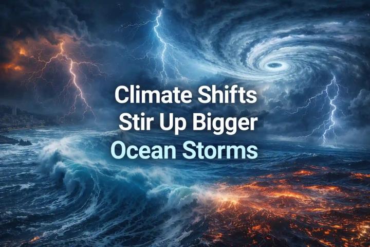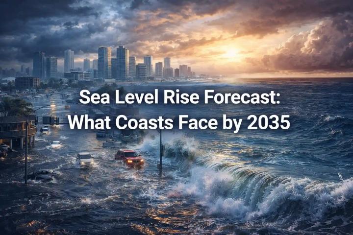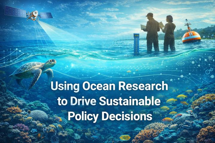

Sea-level rise is one of the most significant indicators of climate change. The oceans are absorbing more heat and expanding, while melting ice caps and glaciers are contributing to rising water levels. Monitoring sea-level rise requires accurate and comprehensive datasets, and oceanographic data plays a vital role in tracking these changes.
Why Monitoring Sea-Level Rise Is Critical
Sea-level rise poses significant risks to coastal communities, ecosystems, and infrastructure. Understanding its causes and impacts is essential for developing effective mitigation strategies and adapting to the changing environment.
Top Oceanographic Datasets for Sea-Level Monitoring
1. NASA’s GRACE Satellite Data
NASA’s Gravity Recovery and Climate Experiment (GRACE) mission provides critical data on the changes in Earth’s gravity field, which can be used to monitor mass loss in ice sheets and glaciers, as well as ocean mass changes that contribute to sea-level rise.
2. AVISO Altimetry Data
The AVISO satellite altimetry dataset tracks sea surface heights globally, providing detailed measurements that help scientists monitor regional sea-level changes, particularly from thermal expansion and ice melt.
3. ICESat-2 Data
NASA’s ICESat-2 satellite uses laser altimetry to measure ice sheet thickness and sea-ice freeboard, which is essential for assessing contributions to sea-level rise from melting ice.
4. COPERNICUS Climate Change Services
The COPERNICUS dataset offers comprehensive climate data, including sea-level variations, ocean temperature changes, and their relationship with global warming, supporting scientific research on climate impacts.
5. NOAA’s Sea-Level Rise Viewer
The National Oceanic and Atmospheric Administration (NOAA) provides a Sea-Level Rise Viewer that combines various datasets and models to predict future sea-level rise scenarios, helping communities prepare for potential flooding.
6. Argo Float Data
The Argo float network provides temperature and salinity data at various ocean depths, which are crucial for understanding ocean circulation and thermal expansion, both contributing to sea-level rise.
Why This Data Matters for the Future
These datasets provide the high-quality, real-time data needed to monitor and predict sea-level rise. By integrating oceanographic data with climate models, scientists can forecast future sea-level changes and help communities plan for the impacts of rising water levels.
Explore more oceanographic resources for sea-level rise monitoring 👉 https://www.oceanography.com