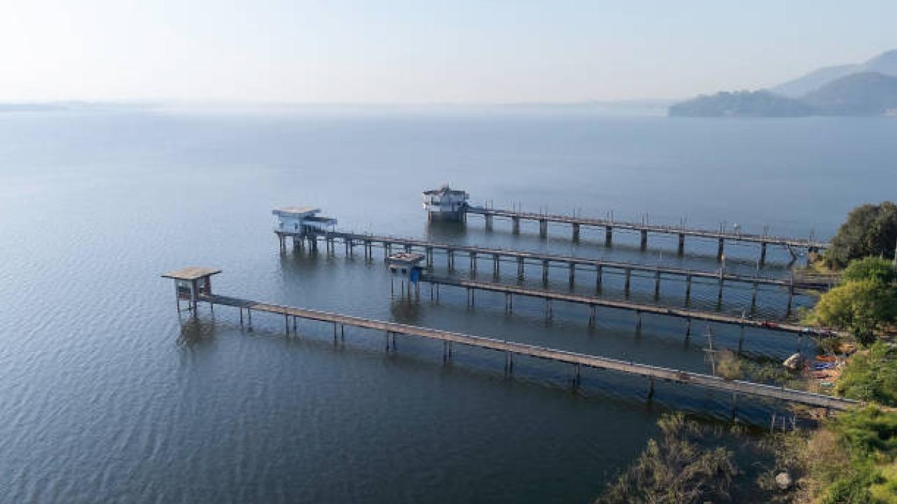
Lake Guntersville rewards preparation, but it rarely rewards rigid assumptions. For an angler who wants to become more confident away from the bank, the lake can feel both inviting and difficult to organize. Its size provides many options, while Lake Guntersville's river channel, creek channels, ledges, humps, bridges, submerged cover, and current-influenced structure create enough variety that two promising areas may require entirely different approaches.
The central subject is mapping, sonar interpretation, boat positioning, and offshore presentation. The objective is to turn electronic information into efficient, fishable decisions. That requires more than collecting locations or lure names. Anglers need a way to connect season, habitat, weather, forage, boat position, presentation, and the evidence observed during the day.
Electronics become useful when screen interpretation, boat movement, and lure presentation are studied together. The angler should predict what a feature will look like, verify it from more than one pass, and then fish it from an angle that keeps the lure near the confirmed target.
Start With the Map Before the Screen
Start With the Map Before the Screen starts with a broad decision: use contour information to predict where bass can travel, feed, and rest. An angler should make that decision before selecting an exact waypoint or lure. Doing so reduces the amount of water that must be considered and keeps the first hour from becoming a series of unrelated guesses.
Useful evidence includes channel bends, points, saddles, inside turns, flats near deep water, and abrupt breaks. No single clue should control the plan, but several clues pointing in the same direction create a workable starting hypothesis. The next step is to test that hypothesis in an area where the relevant features are easy to identify.
The practical response is to mark a small group of high-probability structures before idling. Record the result even when the test fails. A clear negative result can remove unproductive water from the plan and make the next move more deliberate.
Separate Structure From Cover
The value of separate structure from cover is that it turns a vague fishing idea into observable stages. Anglers often use one label for a period that contains several transitions. Breaking the process apart makes location, depth, and presentation choices more precise.
Pay attention to ledges and humps as structure, plus brush, grass, rock, shell, timber, and man-made objects as cover. Those details reveal whether the expected movement is beginning, established, or fading. Fish do not all move at once, so multiple groups may occupy different parts of the lake during the same week.
A sound approach is to look for cover positioned where the larger structural route makes biological sense. Let fresh evidence change the plan rather than forcing every fish into the pattern that was expected before launch.
Use Side Imaging to Search Efficiently
At first glance, use side imaging to search efficiently may seem like a search for one productive feature. In practice, the best areas usually combine several favorable details. The purpose is to scan broad areas without driving directly over every target while ignoring attractive water that lacks the necessary supporting conditions.
Compare range, boat speed, screen contrast, shadows, bottom hardness, isolated objects, and clusters of bait. Differences are often more useful than similarities. A healthy edge beside deep water may deserve more time than acres of uniform habitat, while a small irregularity with bait can outperform a visually impressive area that appears empty.
Use a controlled sampling plan to keep settings consistent long enough to learn how known objects appear. Keep lure category and retrieve reasonably consistent during the comparison so the habitat, not constant presentation changes, remains the main variable.
Choosing a Guide for the Intended Trip
Online research may begin with Guntersville bass guide, but the useful comparison goes beyond a search phrase. Anglers should consider lake-specific experience, instructional >
Searches for fishing guides lake Guntersville and Guntersville fishing guide may surface several options. Ask how the trip is tailored for skill level, whether techniques and electronics are explained, what equipment is supplied, how weather is handled, and what the guide expects the angler to bring.
An electronics-focused trip should prioritize explanation over a rapid tour of waypoints. The right guide can demonstrate search settings, identify what matters on screen, show how to confirm a target, and connect those findings to boat position and presentation.
Use Down Imaging and Traditional Sonar to Confirm
Use Down Imaging and Traditional Sonar to Confirm becomes easier when shallow and deep water are treated as connected parts of one system. The aim is to inspect depth, fish position, and the relationship between targets and bottom, not to classify every bass as permanently shallow or offshore. Travel routes and nearby feeding opportunities often explain why one structure is active and another is not.
Study arches, streaks, bait clouds, separation from the bottom, thermocline clues, and repeated returns. Mapping can identify possibilities, but electronics, current, bait, and catches must confirm them. A contour line alone does not show whether a location is productive at that moment.
Before fishing, circle back from a different direction when the first pass is ambiguous. This keeps search time separate from casting time and prevents confidence in a famous location from replacing current evidence.
Interpret Bait Before Chasing Fish Marks
Movement in the food chain often makes interpret bait before chasing fish marks more understandable. The goal is to treat forage location and behavior as a major part of the offshore pattern. Bass can change depth and location quickly when forage shifts, so visible activity and electronic clues deserve as much attention as traditional seasonal spots.
Watch compact or scattered schools, depth, proximity to cover, predator activity, and movement caused by current. The most useful observation is not simply that bait exists, but how it is positioned and whether predators can use the surrounding cover or structure efficiently. Wind and current may concentrate that activity for only part of the day.
The working plan should favor structures that combine suitable depth with active food rather than attractive contours alone. Maintain enough flexibility to respond when the feeding window moves or closes instead of repeating an earlier success without supporting evidence.
Position the Boat for the Presentation
Precision matters during position the boat for the presentation because small differences can change how long a lure remains near fish. The core task is to align casting angle, lure depth, wind, and current with the way fish use the structure. Boat control, casting direction, line angle, and retrieve speed all become part of the presentation rather than separate technical details.
Evaluate up-current approaches, crosswind control, casting distance, line angle, bottom contact, and the direction bait is moving. If the lure is passing above, below, or across the feature at the wrong angle, changing color may accomplish little. Correct geometry first, then refine the lure based on fish response.
A repeatable method is to place the boat where the lure stays in the productive zone for the longest part of the retrieve. Make several comparable casts before changing variables, and note the exact adjustment that produced contact or a bite.
Make Waypoints More Precise
Make Waypoints More Precise should refine an existing plan rather than create a new one from scratch. The objective is to save the feature that matters rather than a general area. Weather and water conditions can reposition fish within productive habitat without erasing the larger seasonal reason they are there.
Monitor a small hard spot, point tip, brush edge, grass corner, depth break, or the exact location of bait. Compare those changes with the last confirmed pattern and decide which element is most likely to have shifted. This reduces overreaction to a short period without bites.
Respond by trying to label waypoints by feature and revisit them from multiple casting angles. If the adjustment fails in several suitable areas, then reconsider the broader pattern with the new evidence included.
Avoid Spending Too Long on Empty Screens
A fishing pattern becomes useful only when it can be described and repeated. Avoid Spending Too Long on Empty Screens is the discipline of trying to set a reasonable search threshold before moving. One catch provides a clue; several catches sharing meaningful details provide a stronger working pattern.
Capture the presence of life, repeated marks, current, seasonal fit, and whether the structure connects to a larger route. Notes can be brief, but they should be specific enough to guide the next location. General descriptions such as 'near grass' or 'offshore' are usually too broad to reproduce.
The next move is to leave beautiful but inactive structure and continue searching for a better combination. This tests whether the idea travels across the lake and prevents one productive spot from being mistaken for a complete pattern.
Review Screenshots and Tracks
The final value of review screenshots and tracks is a decision process that survives after the trip. The purpose is to use saved evidence to improve interpretation after the trip. Locations change, vegetation changes, and individual fish move, but the relationship among season, habitat, forage, and presentation remains useful.
Review screen captures, boat paths, casting positions, catch locations, and settings used during each pass. Separate observations that depended on Lake Guntersville's specific layout from principles that apply wherever bass use comparable structure and cover.
After the trip, compare what appeared on screen with what the lure and fish confirmed. A short written summary is often more valuable than a long waypoint list because it explains why the decisions worked.
Conclusion
A productive Lake Guntersville experience depends on a clear goal, current evidence, adaptable decisions, and careful preparation. Understanding mapping, sonar interpretation, boat positioning, and offshore presentation helps anglers use their time more deliberately and carry practical lessons to future trips. Donald J Fishing offers catch-and-release Lake Guntersville bass trips with instruction tailored to anglers' goals and experience levels.